
14:39
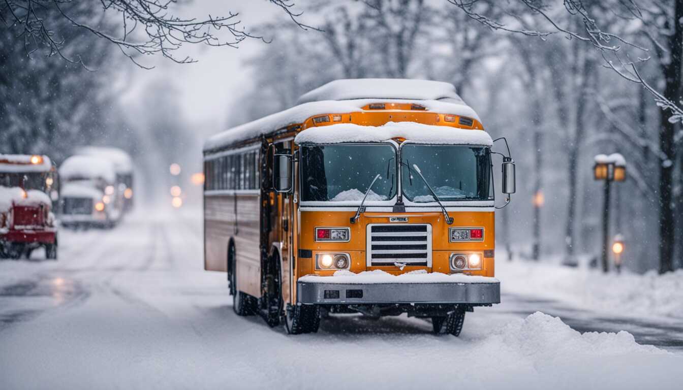
A looming winter storm has the Northeast region and New England on high alert as the National Weather Service issues winter storm warnings. The potential nor'easter is anticipated to engulf the region, possibly bringing heavy snow, gusty winds, and moderate coastal flooding on Monday into Tuesday. Here's a breakdown of what residents can expect in different areas across the Northeast:
The weather service predicts at least half a foot of snow, with Mayor Eric Adams warning of up to 8 inches of snowfall. In response, New York City public schools will transition to remote learning on Tuesday. Additionally, Long Island is expected to receive at least half a foot of snow, while parts of interior Connecticut and the Lower Hudson Valley could see around a foot of snow from Monday night through Tuesday afternoon. The National Weather Service's snowfall map indicates the possibility of up to a foot of snow in certain areas around New York City.
Boston Mayor Michelle Wu has declared a snow emergency beginning at 10 p.m. Monday, prompting the closure of public schools on Tuesday. The storm's heaviest snowfall is expected between 9 a.m. and 3 p.m. in Boston, while the Cape Cod area will experience a later onset, with the heaviest snow anticipated between noon and 5 p.m. Initial forecasts projecting up to a foot of snow in some areas were subsequently revised, with expectations adjusted to 4 to 8 inches of snow around Boston, Worcester, and the Mass Pike southward through Cape Cod and the Islands. Additionally, 2-4 inches are expected north of the Pike up through 495, with no more than 2 inches along the Massachusetts/New Hampshire border.
The storm is forecast to commence as all-rain before transitioning to snow, with the National Weather Service predicting a wide range of possible snow totals. Minor accumulations of less than an inch are expected southeast of the I-95 corridor, while heavier snow totaling 1 to 2 inches is projected for the area south of the I-78 corridor to I-95, with the heaviest snow forecasted north of I-78. Forecasts north of I-78 indicate expectations of 8 to 12 inches near Morristown and 12 to 18 inches near Mount Pocono. Notably, areas around Philadelphia may experience minimal snow, while heavy snow is anticipated north of I-78.
The National Weather Service anticipates heavy snow in the Albany, New York, area, with snowfall rates of 1 to 2 inches per hour or greater predicted for Tuesday morning into early afternoon. The heaviest snow is forecasted south of I-90, with possible totals of 12 to 18 inches in Torrington and 8 to 12 inches in areas around Poughkeepsie, Kingston, Sundown, Hunter, and Otis. Further north and west, 3 to 7 inches are expected from the Schoharie Valley to the Capital District and much of southern Vermont, with forecasts of 3 inches or less northwest of that area. Preparations are underway across the region in anticipation of the impending winter storm, as authorities and residents make necessary arrangements to minimize potential disruptions and ensure the safety of the affected communities.
Share news
Copyright ©2025 All rights reserved | PrimeAi News