
14:39
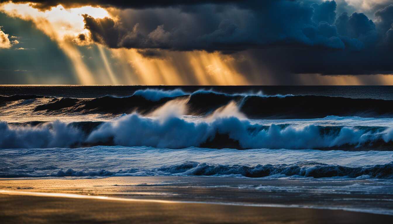
Atmospheric rivers are powerful storm systems that can cause intense flooding and billions of dollars in damage. The storms are airborne rivers of water vapor pushed by wind. Such phenomena can measure 2,000 miles long and 500 miles across, and can carry about as much water as 25 Mississippi Rivers. One such system is slamming into the West Coast right now, placing millions under flood alerts because of forecasts for moderate to heavy rainfall and several feet of snow in some high-altitude areas. Southern California will be drenched, and rain will even fall in the state's deserts.
A group of hurricane hunters is working to investigate the weather phenomenon. CBS Mornings recently joined a flight of U.S. government scientists taking off from Honolulu, Hawaii, to follow the path of an atmospheric river forming over the Pacific Ocean as part of our "Protecting the Planet" series. Those atmospheric rivers often hit the West Coast and dump extreme amounts of snow and rain. Sometimes the storms turn into systems that can travel across the country, wreaking even more havoc.
Multiple atmospheric rivers last winter eradicated California's drought, but caused $4.6 billion in damages. Scientists track at atmospheric river. Marty Ralph, the director of the Center for Western Weather and Water Extremes at UC San Diego, stated, "If we get too much, it's a problem. If we get too little, it's a problem." The powerful storms are expected to become even stronger as climate change heats the planet and creates a warmer atmosphere. "The climate models are projecting that there's gonna be longer dry spells, but also the wettest of the wet days ... the top 1% wettest days ... could be a lot wetter," Ralph said. This will cause extreme weather events to become even worse, Ralph explained.
During the seven-hour reconnaissance mission that CBS Mornings observed, scientists from the National Oceanic and Atmospheric Administration dropped 30 instruments attached to parachutes into the storm. A scientist told CBS Mornings that those instruments will provide a constant look into the temperature, humidity, wind speed and wind direction as they travel through the storm, providing invaluable information that can't be collected from a satellite image. NOAA says that data from flights like this has already improved the accuracy of forecasts by 10%, better pinpointing where and when storms will hit and how much rain and snow they will drop. That can save lives and better protect property, while giving reservoir operators better data to decide when to release water to make room for an upcoming storm, or hold onto it for the dry season. The data also helps scientists learn more about atmospheric rivers. The term was only formally defined by scientists in 2017, according to Ralph, so there's still a lot to learn.
Share news
Copyright ©2025 All rights reserved | PrimeAi News